

Polycam AI
Use Polycam AI as the anchor for a real shortlist.
Instead of returning to a broad directory, jump straight into the strongest adjacent matchups for pricing, workflow fit, and differentiation.
Overview
Overview
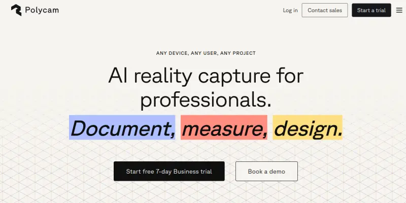
Polycam AI is a versatile reality capture tool designed to turn smartphones, tablets, and drones into powerful 3D scanning devices. By leveraging LiDAR, photogrammetry, and photometric scanning technologies, it allows users to document physical environments with high precision. Whether for real estate, construction, or gaming, Polycam bridges the gap between the physical and digital worlds, enabling users to create accurate digital twins of any space.
Key Features
- LiDAR Scanning: Utilizes device LiDAR sensors to capture precise 3D models in real-time.
- Photogrammetry: Generates high-resolution 3D models from standard photos using advanced algorithms.
- Drone Mapping: Integrates with drones to create large-scale topographic maps and orthomosaics.
- CAD Integration: Seamlessly exports models to popular formats like OBJ, FBX, and STL for use in Revit, SketchUp, and Blender.
- Floor Plan Generation: Automatically converts 3D scans into accurate 2D floor plans with measurements.
- AR Visualization: View your scans in augmented reality directly on your device screen.
- Measurement Tools: Take precise distance, area, and volume measurements directly from the scan.
- Mesh Cleanup: Includes tools to clean and repair point clouds for professional use.
Use Cases
Real Estate and Interior Design
Real estate agents and interior designers use Polycam to create immersive virtual tours and detailed floor plans for property listings, allowing clients to explore spaces remotely before visiting.
Construction and Architecture
Architects and surveyors leverage the tool for site documentation, progress tracking, and as-built modeling, ensuring that digital models match the physical construction site.
Gaming and Film Production
Game developers and filmmakers use scanned assets to create realistic environments, props, and characters, significantly reducing the time and cost of traditional 3D modeling.
Education and Heritage Preservation
Educators and historians utilize the app to document historical sites and artifacts, preserving them in digital formats for study and archival purposes.
Manufacturing and Industrial Inspection
Industrial teams use the technology for inventory management, machinery inspection, and creating digital backups of critical infrastructure.
Pricing & Plans
Polycam operates on a Freemium model. The free version allows for basic scanning and limited exports. The Pro plan is subscription-based (starting at around $5/month) and unlocks advanced features like higher resolution exports, batch processing, and priority rendering. An Enterprise plan is available for teams requiring advanced collaboration features and dedicated support.
Integrations & Compatibility
Polycam integrates with major CAD software including AutoCAD, SketchUp, Blender, Revit, and Rhino. It supports exports to OBJ, FBX, STL, PLY, and GLB formats. Mobile apps are available for iOS and Android, with a web-based interface also supported.
Who Is It For?
This tool is ideal for real estate professionals, architects, construction managers, game developers, photographers, and anyone needing to digitize physical spaces. It is particularly valuable for users who need 3D data on the go without the expense of professional-grade laser scanners.
Limitations
- Hardware Dependence: The quality of scans is heavily dependent on the camera and LiDAR capabilities of the mobile device used.
- Processing Time: High-resolution scans can take significant processing time on mobile devices.
- Lighting Conditions: Scans in low-light environments may result in noisy or incomplete point clouds.
- Mesh Cleanup: While it includes cleanup tools, complex meshes sometimes require post-processing in dedicated 3D software to achieve perfect accuracy.
Final Verdict
Polycam AI is a robust and accessible solution for reality capture. It democratizes 3D scanning, making it accessible to professionals and hobbyists alike. While it cannot fully replace professional laser scanners for ultra-high-precision industrial work, it offers exceptional value for general documentation, design visualization, and spatial data collection.
Tool Facts
Screenshots & Interface
Pros
- ✓ Captures high-precision 3D models using smartphone LiDAR sensors
- ✓ Offers mobile photogrammetry for creating detailed drone maps
- ✓ Integrates seamlessly with major CAD software like Revit and SketchUp
- ✓ Provides real-time AR visualization of scanned environments
- ✓ Automatically generates accurate 2D floor plans from 3D scans
Cons
- × Processing time can be lengthy depending on the device and resolution
- × Low-light environments often result in noisy or incomplete point clouds
- × Mesh cleanup is sometimes required to achieve professional-grade accuracy
- × Mobile hardware limitations can restrict scan resolution on older devices
How to Use Polycam AI in Your Workflow
Integrating Polycam AI into your professional toolkit enhances efficiency by automating manual steps. By configuring it to suit your specific project requirements, you can optimize output quality and reduce project cycle times. Standard workflows involve testing the tool on simple tasks before scaling its use to complex operations.
Frequently Asked Questions
What is Polycam AI used for?
Polycam AI transforms smartphones into 3D scanners for creating digital twins, floor plans, and drone maps on iOS, Android, and web.
What is the pricing model for Polycam AI?
Polycam AI uses a Freemium pricing model.
What are the main advantages of Polycam AI?
The key benefits of Polycam AI include: Captures high-precision 3D models using smartphone LiDAR sensors, Offers mobile photogrammetry for creating detailed drone maps, Integrates seamlessly with major CAD software like Revit and SketchUp, Provides real-time AR visualization of scanned environments, Automatically generates accurate 2D floor plans from 3D scans.
What are the main limitations of Polycam AI?
Some limitations or cons of Polycam AI are: Processing time can be lengthy depending on the device and resolution, Low-light environments often result in noisy or incomplete point clouds, Mesh cleanup is sometimes required to achieve professional-grade accuracy, Mobile hardware limitations can restrict scan resolution on older devices.
Alternative AI Tools

Reface
Reface is an advanced AI-powered tool within Video & Animation specializing in AI Video Generators, built to streamline workflow productivity.

Bannerbear
Bannerbear is an API for generating social media visuals, ecommerce banners, and podcast videos from text templates. It automates content creation workflows for teams requiring high-quality assets.

Avaturn
Generate photorealistic 3D avatars from selfies. Customize features and export as standard 3D models (GLB, FBX). Includes a developer SDK for app and metaverse integration.
Rating Details
Based on 0 ratings
Quick Comparisons
Related Tools
More AI tools from the same workflow, industry, or category.
ClipTrend.ai
ClipTrend.ai is an AI image-to-video workspace for creators, marketers, and short-form video teams.
SongR
SongR is a text-to-song app that generates custom music tracks from a few keywords. It is designed for content creators and social media users who need quick, royalty-free songs in genres like pop, rock, hip-hop, and chant. Its key differentiator is instant generation without requiring musical expertise.
Quantum Capture
Quantum Capture generates AI-powered talking head videos from text input. It is designed for content creators and marketers who need quick, studio-quality video clips without expensive equipment. The platform specializes in creating realistic avatars with consistent lip-sync and facial expressions.
Kaltura AI
Kaltura is an enterprise video platform that combines cloud hosting with AI tools for content creation, marketing, and learning management. It helps businesses create branded video experiences for webinars, social media, and internal training.
Reviews
No reviews submitted yet. Be the first to share your experience.
Write a Review
Share Your Experience
Join the community to write reviews, submit ratings, and bookmark your favorite AI tools.